Kalon Norzin Dolma Inaugurates Tibet Museum’s Temporary Exhibition Titled “Mapping Tibet”
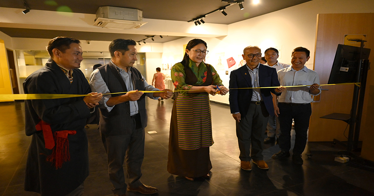
Dharamshala: Kalon Norzin Dolma of the Department of Information and International Relations (DIIR), CTA inaugurated the temporary exhibition titled “Mapping Tibet” earlier today at the Tibet Museum.
The inaugural ceremony of the exhibition was attended by a guest speaker Tsering Wangyal Shawa, along with Secretary Palden Dhondup from the Department of Home, DIIR Secretary Karma Choeying and DIIR’s Additional Secretaries Tenzin Lekshay and Namgyal Tsewang.
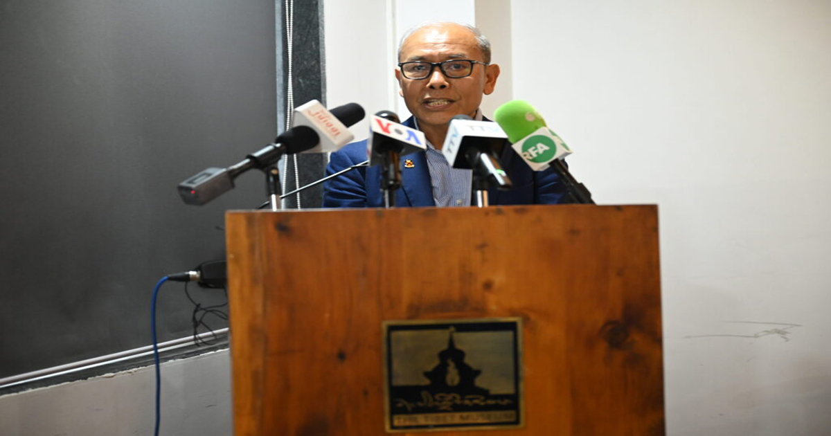
Tenzin Topdhen, the Director of Tibet Museum, presented a brief account of the history of Tibet Museum and, in particular, introduced the objectives behind the ongoing temporary exhibition. He explained the four sections of the exhibition: Tibet’s map of the 17th-19th century, Tibet’s map from 1904 to 1918, Tibet’s map after the 1950s, and the map of Tibet’s capital, Lhasa.
The special guest of the event, Tsering Wangyal Shawa, addressed the gathering and shed his knowledge on Tibet’s cartographic history beginning with Tibet’s map published by Western countries in the 17th and 18th centuries based on information obtained from Jesuit missionaries and traveller’s accounts. He then explained the mapping of Tibet according to the modern cartography system that was mostly published by either Westerners (including the British Raj) or Chinese until the Shimla Convention of 1914, during which the Gaden Phodrang government, for the first time, made an effort to participate in the demarcation of Tibetan territories. However, after the establishment of the Tibetan exile administration, various institutions and individuals made numerous attempts to standardise the Tibetan map.
He stressed focusing more on collecting, creating, standardising and understanding cultural and geographical feature names in the Tibetan language to retain the identity of the places. He said, “Place and geographical feature names are an important part of our cultural environment. If you look at the map these days, it is difficult to recognise many places located in Tibet because they have Chinese-sounding names…..I see a danger of losing the original Tibetan place name over time”.
Tsering Wangyal Shawa has served as the Geographic Information System (GIS) and Map Librarian at Princeton University Library since 1998, and he presently teaches a course on “GIS for Public Policy” at the Princeton School of Public and International Affairs. From the afternoon of 7 August to 10 August, Tsering Wangyal Shawa will give training on QGIS and mapping at the TCRC hall.
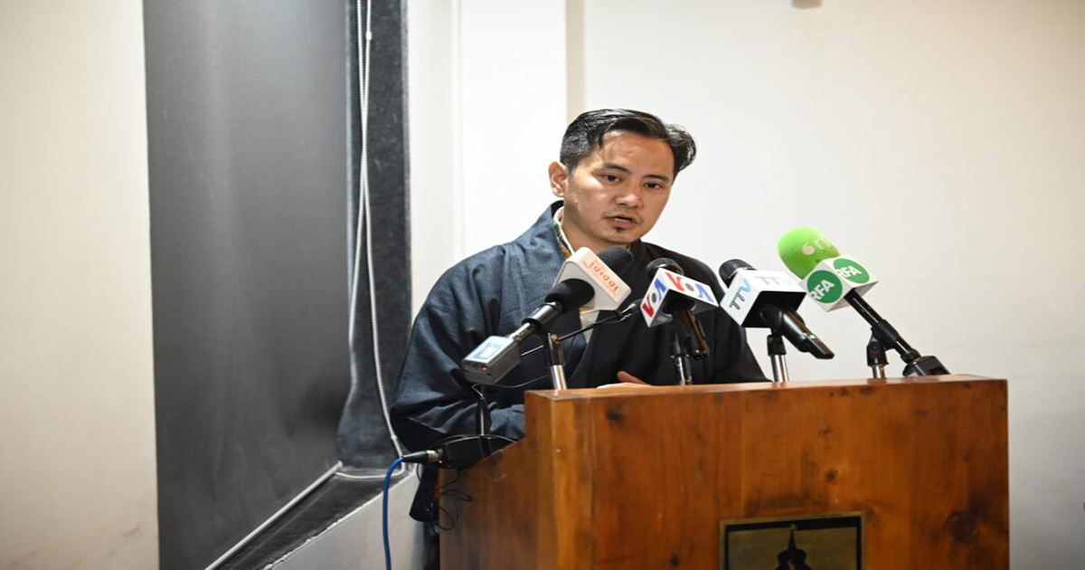
Kalon Norzin Dolma commended Tibet Museum’s effort in organising the event, adding that, it was arranged as per the international cartography system. She shared her opinion on the significance of mapping and further emphasised how imperative it is to create awareness amongst Tibetan of the importance of maps, given that maps can tell stories of civilisation.
The gathering was concluded with a vote of thanks from Tibet Museum staff Tenzin Dolma.
Reported by – Tibet.net
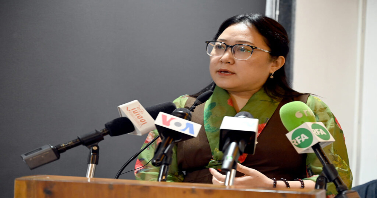
Kalon Norzin Dolma addressing the gathering.
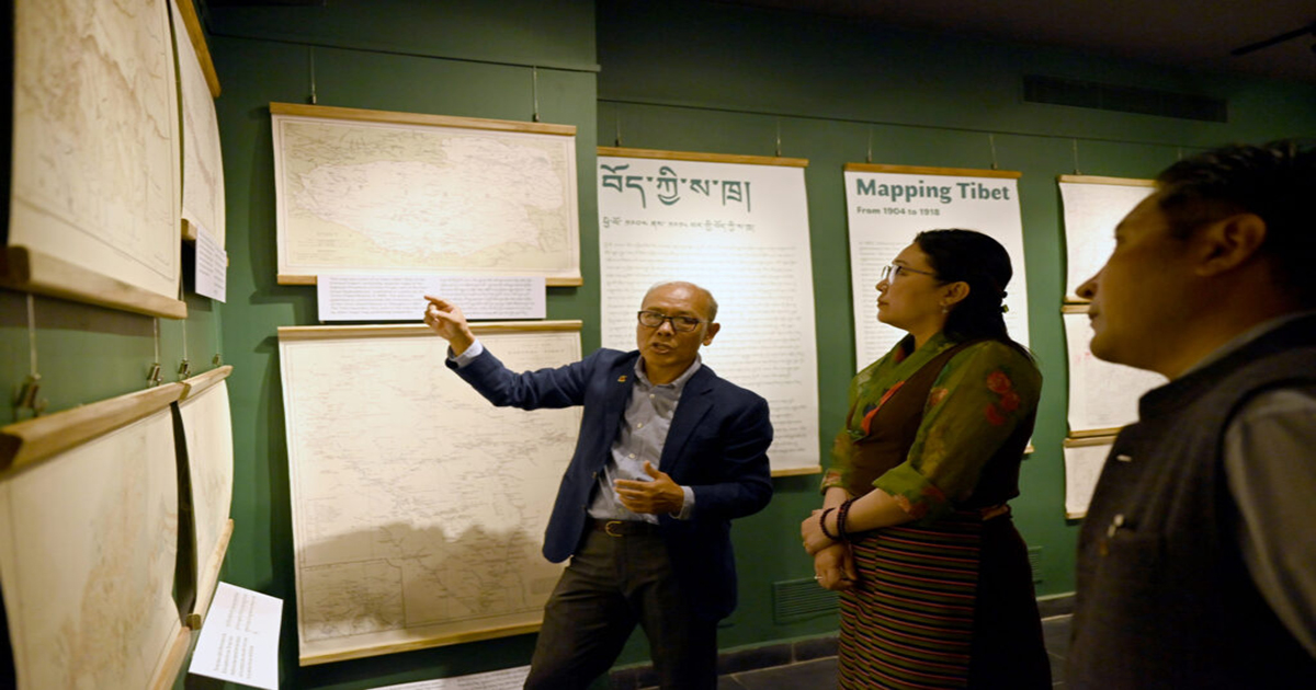
Tsering Wangyal Shawa explaining the display of a Tibetan map.
Tsering Wangyal Shawa sharing his knowledge on cartography at the gathering.
Tibet Museum Director Tenzin Topdhen giving an introductory remark.